

| |
| Home | Donate | About | Projects | Archive | Centennial |
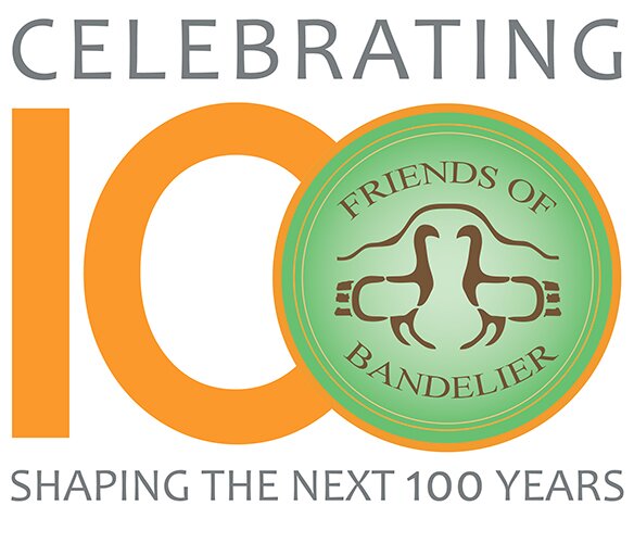
Bandelier National Monument's 100th Year! |
|
|---|---|
 |
|
Friends of Bandelier |
|
|
Supporting Bandelier National Monument projects, programs, education, and research since 1987. |
|
|
In this centennial year, the Friends seek to raise $100,000 for continued funding of youth and visitor programs at Bandelier. Your contribution to the Friends Centennial Campaign will help shape Bandelier's next 100 years with funding for: |
|
|
Who Are the Friends of Bandelier?The Friends of Bandelier are private citizens who love the monument. A Board of Trustees governs our activities under a formal Memorandum of Agreement with the National Park Service. Park rangers request help on special projects and we try to meet their needs. We keep our membership informed of Friends' activities, and of key issues affecting the monument, through letters, field trips, and announcements in the local newspapers. What Do the Friends Do?The Friends of Bandelier try to help where we can do the most good. |
Mission Statement |
|
The Friends of Bandelier shall support activities at Bandelier National Monument in keeping with the purposes for which the monument was established, including, but not limited to preservation and restoration, educational and interpretive programs, outreach and cultural programs, research and planning. |
| Copyright 2000-2016 Friends of Bandelier |
| Contact us at |